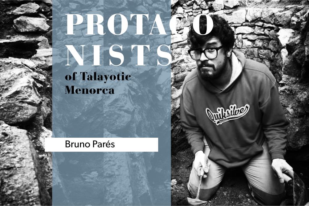
 Bruno Parés is an archaeologist specialized in the virtual documentation and 3D reconstruction of land and underwater heritage. A graduate in History from the University of Barcelona, he learned all about Heritage Virtualization at the University of Alicante. Recently, he made the 3D documentation of the Galliner de Madona’s impressive hypostyle hall.
What captivated you about Archeology to make it your profession?
I have always liked history and heritage in general. As a child, I had many books on ancient cultures, on how castles and pirate ships were, and about Greek mythology. All of them had great illustrations and infographics that I could spend hours looking at. Also at that time, on TV you could whatch series like Dragui, History of Catalonia or Erase una vez el hombre which spiked my interest in history. Good museums also marked me from a very young age, I remember a temporary exhibition at the Barcelona Science Museum about a 17th century shipwreck. It was not a normal exhibition, the staging was impressive and it stimulated all your senses. I forced my parents to return several times. It was about sunken ships and how being submerged affects their preservation and, since they are like time capsules, what information their study offers us today. This was my first contact with underwater archeology.
When I started the History major, I took the Underwater Archeology course, which fascinated me and made me decide to be an underwater archaeologist. One of the problems with this discipline, because you’re limited by the air in the scuba tank and how deep you are, is the short amount of time you can spend underwater working at a given site. When I discovered that there was a technology capable of capturing an object with photographs and, with the use of software, generating an identical 3D model in much less time than traditional documentation from archaeological drawings, I decided to bet on it and apply it to underwater archeology. Once I discovered its possibilities, I began to use it on the different sites where I was working on, not only underwater but also on land. Little by little I also started 3D documentation of archaeological objects, 3D reconstructions and 3D printing. Right now, I do a little bit of everything.
And how did your relationship with Menorca and the Talayotic culture begin?
I came to Menorca thanks to underwater 3D documentation. A colleague and friend with whom I had worked in Catalonia, Xavier Aguelo, hired me to excavate and document in 3D the Binissafúller wreck in 2016. After the campaign, I spent 15 more days making the Menorca underwater archaeological map. That allowed me to travel the entire island and I got to know it both on land and underwater. The island and its heritage richness from all ages captivated me. Since then, every year I made the Menorca underwater chart, and in 2018 I excavated and documented the Calescoves underwater site. That same year I also met my partner, and since then I have been living and working in Menorca.
Since 2018 I have been working on 3D documentation of archaeological sites and materials on the island, which implied investigating Menorca’s history and prehistory in order to do my job well. I think I am very lucky, since my specialty is not linked to a specific period and, therefore, each project gives me the opportunity to discover a different moment of the island’s history. I can both be in the cave of Sa Mola excavating and documenting the high-bottomed cups in 3D, as I can reconstruct the lives of the British soldiers in the coastal defense tower of Sanitja.
As archaeological research involves the destruction of the levels that are found, documentation is very important. This is where your work comes in. What is the documentation process of an archaeological site like?
Documentation techniques have evolved a lot. It began with the archaeological field drawing with graph paper and pen. Later photography was incorporated, which was democratized with the arrival of digital photography. Currently, with the new technologies, a further step has been taken and we have 3D documentation or virtualization of heritage. This technique allows us not only to have a series of photographs, plans and sections, but also to return to the documented moment and walk through all the stages of the archaeological excavation virtually.
While we excavate a site, my job is to document in 3D each of the layers and levels in the greatest detail possible. And later, with the computer, I generate a 3D model that allows us to virtually return to the documented layer and have the maximum information of that historical moment. We use these 3D models to study the sites right now, but they will be also used in the future by the archaeologists who want to go back and see the work done previously. The archaeologists of the future will be able to see and virtually walk through the Talayotic sites as we see them today.
What is the end goal of your job?
I would say that it is to preserve our heritage with as much information as possible for future generations. But this is simplifying a lot, since 3D documentation is used both for research, study and preservation of heritage, as well as for its dissemination. The fact we’re able to bring the sites closer to the public through virtual tours, something that normally only archaeologists and restorers can see, seems to me is a very social goal.
Also, with 3D printing, everything that is documented, be it monuments or objects, can be replicated in resin. For example, I documented the prehistoric wooden objects from the Es Mussol and Es Càrritx caves, a highly sensitive and delicate material, in 3D and printed them in resin so that the Museu de Menorca and the Municipal Museum of Ciutadella had exact replicas, which can be touched without danger of degrading the original object.
 How many sites have you worked on during these years in Menorca?
I have been lucky enough to work on land and underwater sites from different historical stages throughout the island, but above all I have worked in sites from prehistoric Menorca. As I mentioned before, I have documented the wooden objects in the Es Mussol and Es Càrritx caves; also the coastal site of Cala Morell with its navetas; the high precision documentation of the Galliner de Madona hypostyle room; the wrecks of Binissafúller and Calescoves; the hundreds of tall-bottom cups in sa Mola cave; and the impressive fortified town of Son Catlar.
I have also documented medieval Menorca with the islamic occupation of the Talayotic site of Torre d'en Galmés and the Islamic fortress under the current Ciutadella City Hall. From the late modern era, I have documented the English coastal defense towers of Sanitja and Rambla. But there are still many sites and monuments that I want to document in 3D.
What is left to explore about Menorca's underwater heritage?
Menorca's underwater heritage is immense and is linked to the protection and conservation of the seabed. We know many underwater sites along the Menorcan coast, but surely there are still many more that remain in the depths, buried. Storms and changes in marine currents can sometimes uncover a site that is not part of the underwater archaeological chart. When an underwater site is discovered naturally, we document it, and if it is in danger of destruction or looting we will act to protect it.
One of your last works is the 3D documentation of the Galliner de Madona. What are its most important contributions?
The Galliner de Madona is an impressive hypostyle hall. The Mediterranean columns and its star-shaped tile roof are a truly unique construction. The problem is that part of the tile roof was in danger of collapse and needed to be propped up. In order to know what the monument was like before propping it up, and to be able to plan future restoration interventions, it was decided to document it in high-precision 3D. That is, using a large number of photographs and obtaining a final 3D model of many millions of polygons. Each of the stones that are part of the monument are documented with millimetric precision, and we know their exact position at the time of documentation. Taking advantage of the 3D model, I reduced it to polygons and rendered the virtual tour so that everyone can visit it and understand what it is like inside and out.
And our last question, what are the next projects you have on the table?
Some projects that I have already finished have yet to come to light, but I cannot say anything about them. On the other hand, I am about to start some 3D documentation and dissemination projects about Menorca’s history, which I cannot comment on either, but I am really eager to start. What I want the most is to not stop learning about the island’s history, documenting its present and approaching its heritage to everyone.