 Rafael Mata is Professor of Geographical Analysis at the Universidad Autónoma de Madrid and a member of the Scientific Council of the Talayotic Menorca Agency. A specialist in the study of rural landscapes and systems, land regulation and nature conservation policies in Spain and Latin America, he has over the past twenty years been involved in drawing up various land regulation plans and landscape guidelines in a number of Spain's autonomous regions, including the Menorca Island Territory Plan (PTI, winner of the 2005 National Urban Planning Award and the 2006 Gubbio Prize awarded by ANCSA in Italy).
A specialist in international borders (Geographer of the International Argentina-Chile Tribunal of the Organization of American States, 1994-1996) and adviser to the governments of Ecuador and Nicaragua (1996-1999) on continental and maritime borders, he has served as President of the Association of Spanish Geographers (2005-2009) and of the Spanish Committee of the International Geographical Union. He is now head of the Geography Department at the UAM and chairs Europarc-España Valle del Nansa & Peñarrubia, within the Botín Foundation's Heritage and Territory Programme (winner of the 2014 Hispania Nostra Award for "best landscape intervention").
What do you see as the characteristics that Talayotic Menorca fulfils in order to be proclaimed a world cultural heritage site?
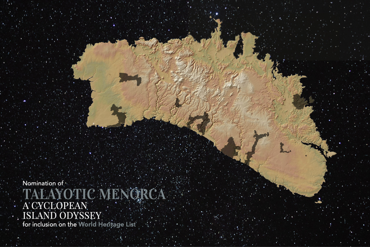
Clearly, as the Talayotic Menorca nomination file very clearly sets out, the fact that the outstanding value of this distinctive prehistoric cultural expression lies in the huge density of cyclopean monuments, their diverse typology and the worldwide singularity of some of the constructions, which are found here in Menorca, and nowhere else. But these fundamental values and characteristics have to be seen in unison with the way they are rooted in the territory, and the intelligent adaptation of the most conspicuous Talayotic settlements and monuments, of the living and the dead, to the physical and environmental diversity of Menorca: to the small- and large-scale contrast in lithology and topography, to the diverse potential of the soil, the presence of water or different conditions of visibility and intervisibility of the apparently uniform plain of the Migjorn region.
The dense Talayotic territorial system in fact offers a beautiful and thrilling story, helping us to understand the past, but also to interpret and value the landscape of the present. And there is one last circumstance which to my mind is also fundamental for this well-deserved recognition of world heritage status: I refer to the outstanding state of conservation of the rich and abundant repertoire of constructions and archaeological sites of Talayotic culture and the way in which they have over thousands of years coexisted with a dynamic landscape shaped by humanity, in which the material records and spatial experience of Talayotic communities are not simply traces of a very distant past, but decisive elements of the palimpsest of Menorca's landscape, of the biography of its territory, and an essential part of the identity of those who have populated this Mediterranean island for millennia.
The new Talayotic Menorca file
What were the aims behind the reformulation of the new file in terms of landscape?
The original file itself included many valuable references to the landscape, based on the knowledge built up as to the patterns of distribution of the different types of Talayotic construction and settlement across the territory, and issues connected with the visibility of the most conspicuous monuments, the talayots, typically located on small topographical elevations on the plain of Migjorn.
The new file has moved on from addressing a series of cultural assets comprising a repertoire of outstanding monumental expressions which nonetheless cover only a small area, to considering a series of components at the territorial scale, allowing us to underpin the landscape dimension of this asset and its values. The new file emphasises that the asset as a whole, and each of the spectacular prehistoric constructions which it comprises, have their place at the island level within a mosaic Mediterranean landscape which has a number of features similar to those of the prehistoric era. The valuable landscape mosaic which harmoniously incorporates and surrounds the cyclopean constructions of the past is in fact the result of an ongoing
symbiotic relationship with the natural world and with the landscapes inherited from Menorca's distinctive agricultural ecosystem which, from prehistory down to the present day, reveals an extraordinary capacity of resilience, guided by similar patterns of occupation and use of the territory and of its resources.
As also emphasised in the renewed file, the asset today represents an
outstanding case of archaeological landscape and living monument, in which the huge diversity and density of prehistoric sites is expressed and coherently integrated within an internally diverse geographical context, allowing for a profound interpretation of the relationship between Talayotic culture and its surroundings. At the same time, today's Talayotic landscapes clearly show the visual connections and the system of spatial organisation which prevailed in prehistory, an aspect that has also been heightened in the renewed file, with a systematic and innovative study of intervisibility.
I think it is important lastly to emphasise that the rich repertoire of Menorca's current landscapes, as identified and characterised thanks to the studies which accompanied the generation of the 2003 PTI (Island Territory Plan), is very well represented in the nine components of Talayotic Menorca. They in fact represent an outstanding example of the island's diverse landscape, in particular the units which make up the landscape of Migjorn, where many of the settlements and signs of Talayotic culture are to be found, as well as one of the landscapes of the north-eastern Tramuntana region, where there are significant Talayotic remains. And so the considerable degree to which the components of the asset represent the landscape, highlights the meaningfulness of the landscape itself in selecting and justifying the sites included. Meanwhile, the different components, in the sense of territorial contexts of monumental attributes, make up patterns of landscape which make a decisive contribution to how we understand and value them throughout their long diachronic history.
 Could you explain the process of preparing the TM file in its geographical aspect? What challenges did you face?
More than challenges, I feel that the Talayotic Menorca file offered a great opportunity to make use of the material and perceptive expressions of Talayotic culture in interpreting the territory, through a broad understanding of Menorca's diverse physical and human geography.
The pronounced topographical, geological and geomorphological differences at the island level between the Tramuntana and Migjorn regions, studied as early as the second half of the 19th century by the French geologist Jean Ferdinand Hermite, reveal a sharp contrast in the patterns of distribution of Talayotic sites, which predominate in the south of the island. Within the Migjorn region itself, though, and at a more detailed scale, it is fascinating to see how the contrasts in micro-relief, lithology and soil on a highly karstic and apparently uniform limestone plain, were exploited differently by Talayotic villages and constructions, to the extent that their distribution casts light on Menorca's geological and geomorphological cartography, which is enhanced by this dense and exceptional system of cyclopean structures adapted to their environment. The gently contoured mounds of the Migjorn, often imperceptible in the landscape, are frequently marked by talayots, while some of the slightly concave karstic hollows (poljés), with their fertile, clayey soils and springs, provide the enclosed setting for monumental naveta tombs, such as those of Rafal Rubí and d'Es Tudons.
This fundamental geomorphological base of large and small contrasts underpins the distinctive mosaic of Menorca's flora, shaped by the tramuntana wind, with its outstanding significance in terms of both flora and ecology, bringing cropland, pasture and areas of natural vegetation into close contact. A mosaic which has over the centuries been managed by means of Menorca's agrarian system, incorporating within the landscape a fundamental feature of the island's geography: the dense and systematic presence of dry stone walls, which separate each and every one of the plots of land (tanques) into which Menorca's countryside is divided. The high density, diversity of stones, multi-functionality and good state of general conservation make this distinctive and omnipresent bocage of stone, with an estimated length of more than 11,000 km, one of the hugely valuable attributes of Menorca's landscape. The traditional system of settlements, another essential geographical structure, made up of historical municipal centres and the farmhouses (casats) of the estates (llocs), many of them close by the Talayotic settlements and monuments named after them, give Menorca a diverse and cohesive geography of contrasts at all scales, in which the Talayotic territorial system forged in prehistory represents a fundamental layer in our interpretation of the island's present-day geography.
Talayotic Menorca and the Menorca Territorial Plan
You belonged to the team that drew up Menorca's first Territorial Plan in 2003, and also the new text which is in the process of approval. What approaches are defined in terms of Talayotic Menorca?
The landscape, as defined in the Council of Europe Landscape Convention (2000) and its political agenda, represented the basis for our understanding and integrated appraisal of Menorca's territorial heritage in the 2003 PTI. In this regard, the terms of reference of the Plan included the highly dense network of Menorca's sites of cultural interest, in particular the territorial expressions of Talayotic culture. However, back then there was little integration of these elements into the characterisation and appraisal of the landscape, because at the time the emphasis was placed on the landscape expressions of Menorca's agricultural ecosystem, the traditional system of population, the physical configuration of the coastline and the main conditions of territorial visibility.
The revision of the Menorca Territorial Plan (PTI) gave us a wonderful chance to underpin the interpretation of the island's landscape and heritage with a decisive contribution from the components of Talayotic culture integrated within the territory, and perceived in terms of landscape, as a layer of outstanding value. At the same time, the approach to landscape in the revised PTI provided an excellent opportunity to give territorial structure to the components that make up the Talayotic Menorca nomination. This does not mean denying the specific Site of Cultural Interest protection afforded to the archaeological attributes included in the series, but the PTI has made an important contribution to safeguarding the territory of the components of Talayotic Menorca, as the contextual landscape of monumental attributes, protecting them under the Area of Landscape Interest category created by the Plan. This provides
a guarantee the integrity of the assets and their broader context against possible processes of change, deterioration, impact or trivialisation of such important elements of the territorial heritage, which create an interpretative and visual dialogue between the archaeological monument and the landscape.
I would like to emphasise that all this has been made possible by the close cooperation between the island's territorial regulation authorities, who define the territorial model of the island by means of the PTI, and those responsible for historical and cultural heritage, who protect and manage cultural assets, in particular the components and attributes that make up Talayotic Menorca. These elements of the landscape are of outstanding interest and need to be safeguarded and showcased by moving beyond the essential concepts of historical and cultural heritage protection, drawing on the potential offered by territorial planning. I see this whole process as representing a highly positive experience of territorial good governance that the nomination process has facilitated, and which at the same time corroborates its strength and viability.
 The relationship with tourism is another of the key points in preserving Talayotic Menorca. How can we strike a balance between tourism and respect for the landscape and heritage?
Talayotic Menorca is above all a public and grassroots initiative to ensure that we safeguard the island's outstanding prehistoric heritage. However, in an established and accredited coastal tourism destination such as Menorca, with more than a million and a half visitors per year, in particular in the summer months, there can be no question that an asset as powerful as Talayotic Menorca, with the potential for inclusion on the World Heritage List, and which covers much of the island's territory, is a major attraction for visitors with an interest in archaeological and landscape heritage, who will be encouraged to visit following the declaration.
Such heritage-based, and specifically archaeological, tourism, if properly publicised and interpreted, represents a substantial resource to increase the number of tourists outside the summer season, during the many months of the year when a visit to Menorca's archaeological landscapes and monuments is more enriching and enjoyable. It will be very difficult to achieve the holy grail of "deseasonalised" tourism for as long as sun and sand destinations and the way in which holidays and tourism products are structured in source countries maintain their current profile, but we have to believe that such
unseasonal, archaeological tourism, if properly promoted, will help to some extent to balance out the island's tourism cycle.
In any event, both such calm, archaeological and landscape tourism, and the more mass market, summer seaside tourism, also taking an interest in the Talayotic monuments, require intelligent and effective management to ensure that a visit to the sites of Talayotic Menorca is a culturally informed, civilising and sustainable experience. In my judgment, the Talayotic Menorca Plan proposes an interesting programme of co-efficiency and sustainability, committed to a
responsible model of visits, in accordance with the acceptable footfall capacity of the different sites on the basis of three categories of monument, according to their scale, state of conservation, typology, accessibility, ease of interpretation, and archaeological and symbolic interest.
All of which goes hand in hand with a Landscape Preservation Plan, coordinated with the revised PTI, a Safety Plan and a Mobility Plan, in accordance with the commitments of Menorca's 2030 sustainability strategy, with the aim of helping to reduce travel by private, fossil fuel-powered vehicles, proposing a more energy-efficient system of access, incentivising communal mobility, the implementation of public transport or shuttle services to transfer visitors from park-and-ride facilities, and sustainable mobility, either by bike or walking trails. All of which likewise aims to free the landscape of visual and polluting impacts, for example by avoiding the presence of car parks directly alongside archaeological sites.